Mapas de Golaghat
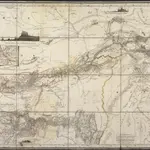 1834|Berghaus, Heinrich Karl Wilhelm1:1 000 000
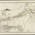 1834|gest. von W. Brose u. W. Jaeck1:1 000 000
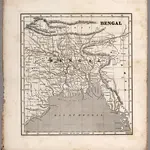 1848|Morse, Sidney E.1:4 000 000
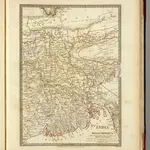 1831|Society for the Diffusion of Useful Knowledge (Great Britain)1:2 200 000
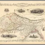 1851|Tallis, J. & F.1:9 000 000
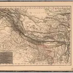
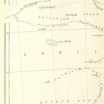 1871|SHAW, Robert Barkley.
 1833|Mahlmann, H.1:6 400 000
Mapas antiguos de Golaghat
Descubra el pasado de Golaghat en mapas históricos
Mapas antiguos de Golaghat
Descubra el pasado de Golaghat en mapas históricos
En busca de un Google Maps API Alternativa?