Maps of Treban
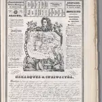 1842|Rivaux, Auguste
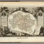 1856|Levasseur, Victor.1:580 000
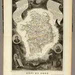 1856|Levasseur, Victor.1:563 000
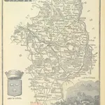 1864|LA BRUGÈRE, de Geographer
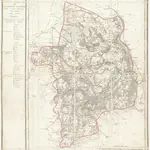 1810|P. G. Chanlaire et Dumez1:265 000
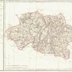 1810|P. G. Chanlaire1:260 000
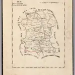 1825|Hermann, O.1:400 000
Old maps of Treban
Discover the past of Treban on historical maps
Old maps of Treban
Discover the past of Treban on historical maps
Looking for a Google Maps API Alternative?