Maps of Riedenberg
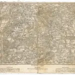 1850|Kunstanstalt von Piloty u. Loehle1:219 000
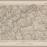 1870|Johannes Wilhelm Liebenow 1822-18971:300 000
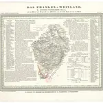 1837|Hellrung, Carl Ludwig1:505 000
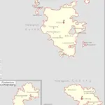 1830|Kunz, Andreas ; Moeschl, Joachim Robert
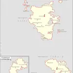 1826|Kunz, Andreas ; Moeschl, Joachim Robert
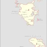 1834|Kunz, Andreas ; Moeschl, Joachim Robert
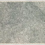 1875|Militärgeographisches Institut1:300 000
Old maps of Riedenberg
Discover the past of Riedenberg on historical maps
Old maps of Riedenberg
Discover the past of Riedenberg on historical maps
Looking for a Google Maps API Alternative?