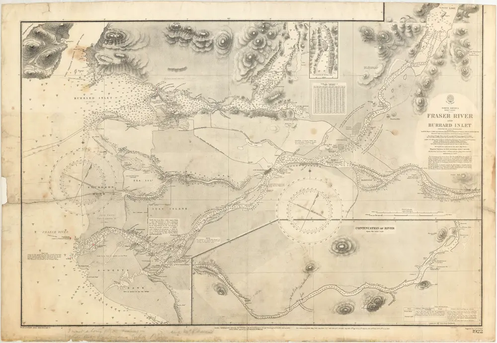
1860
Captain G. H. Richards
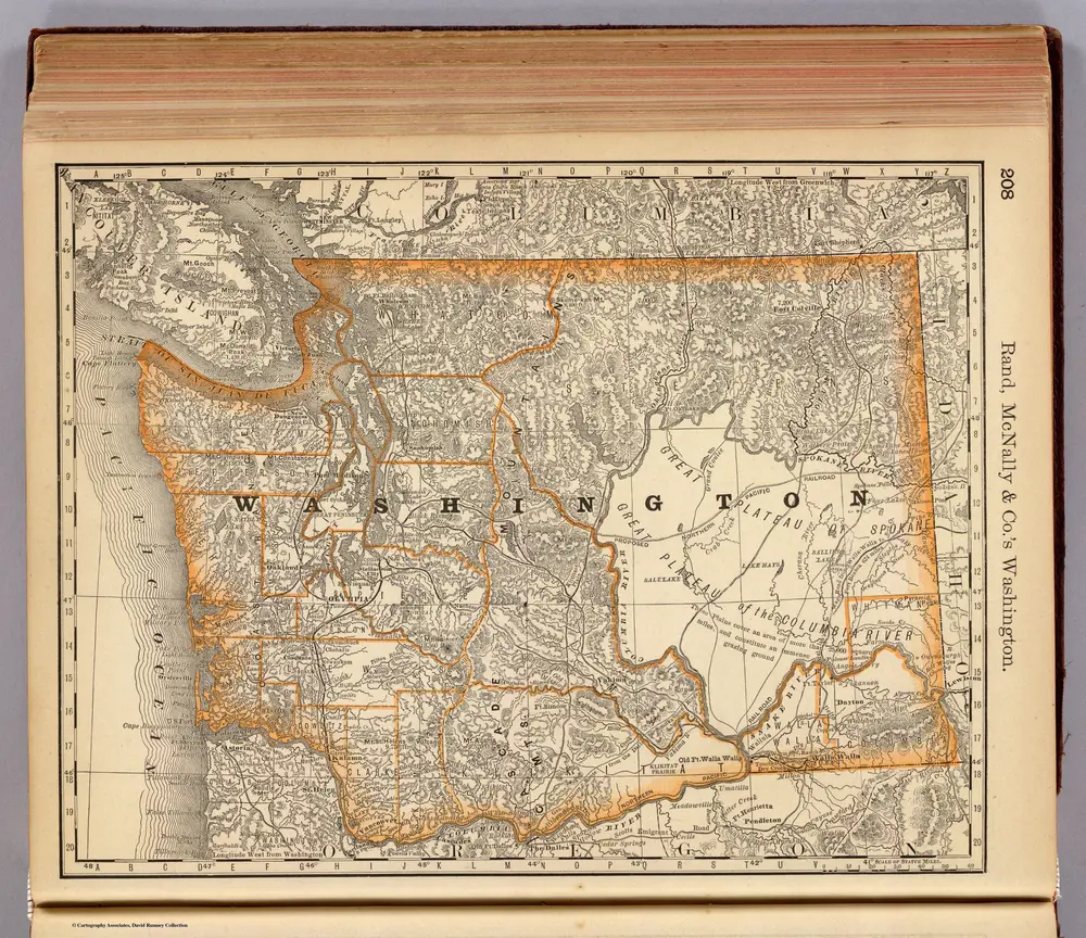
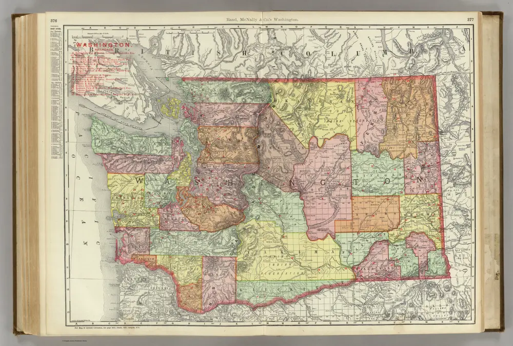
1900
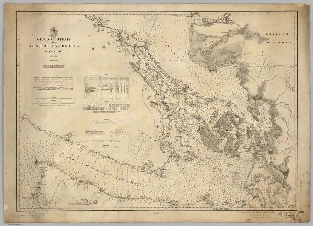
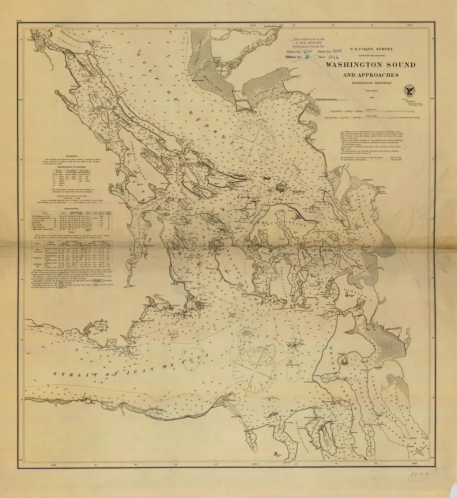
U.S. Coast Survey
1:200k
1866
Unknown
1951
Shell Oil Company
1:51k
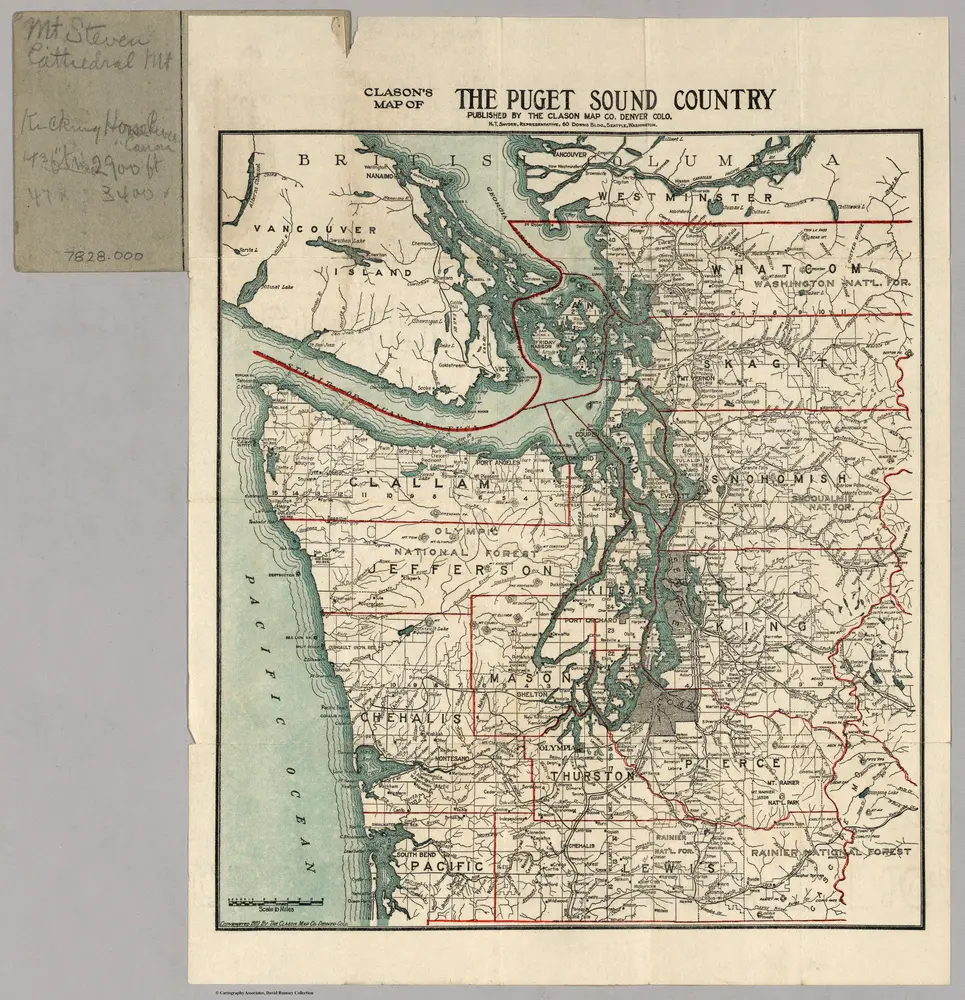
1910
Clason
1879
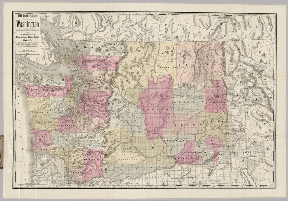
Rand McNally and Company
1:2m
1903
1:1m
1891
Amerine, C.H.
1:507k
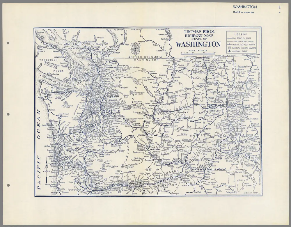
1938
Thomas Brothers
1883
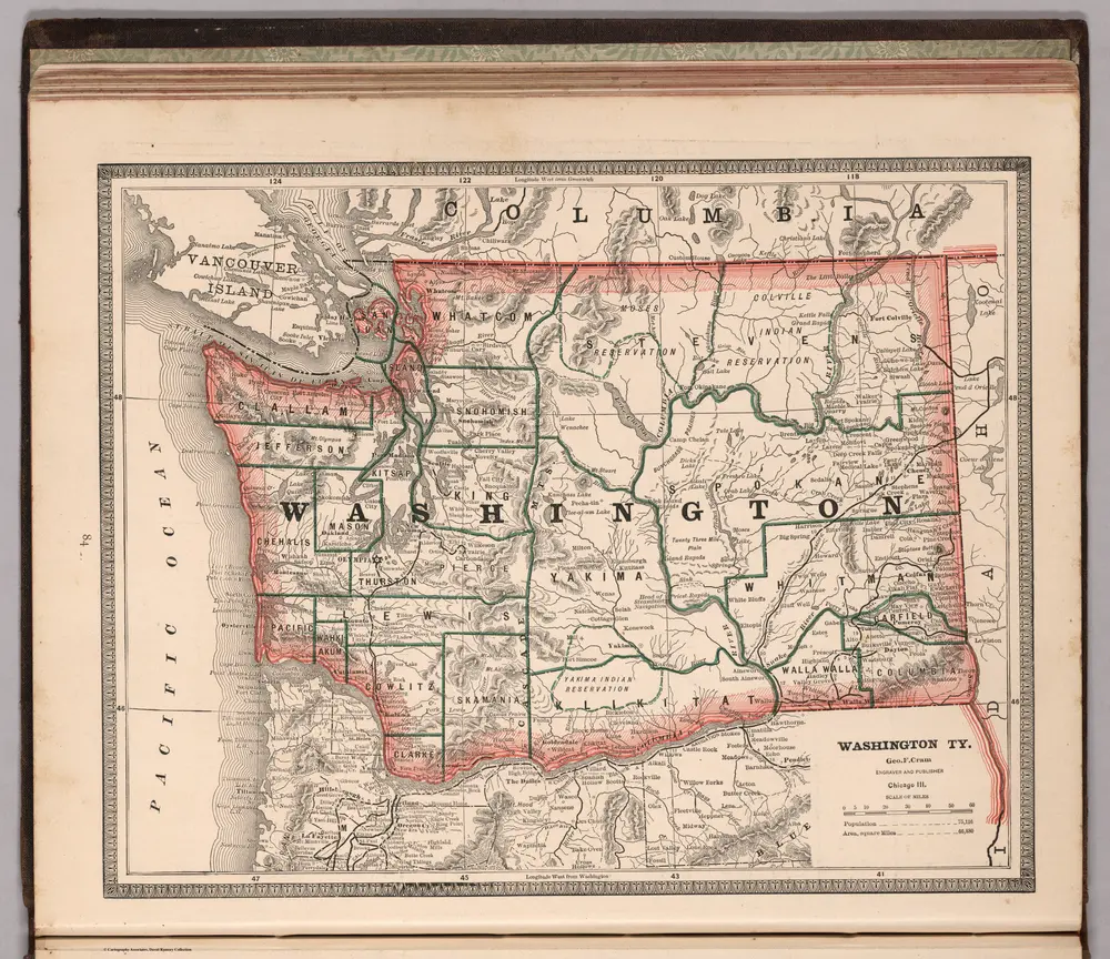
Cram, George Franklin